Short answer: Choose a LiDAR scanner based on four things – where you scan, the accuracy your deliverable needs, whether the point cloud must sit in a coordinate system, and what it becomes (floor plan, BIM, volumes or digital twin). For most documentation jobs indoors and in tight spaces a handheld SLAM scanner is enough; large sites or higher local accuracy call for longer range or a tripod mode.
Norrpoint is the only reseller in Sweden selling LiDAR scanners from FJDynamics. This guide reflects how we specify scanners for Swedish jobs in construction, surveying, infrastructure, forestry and mining.
1. Where will you scan?
Environment is the key question. SLAM (Simultaneous Localization and Mapping) lets the scanner calculate its own position without GPS, which works indoors, in tunnels, in mines and under dense canopy. Outdoors with open sky, RTK GNSS can georeference the point cloud directly.
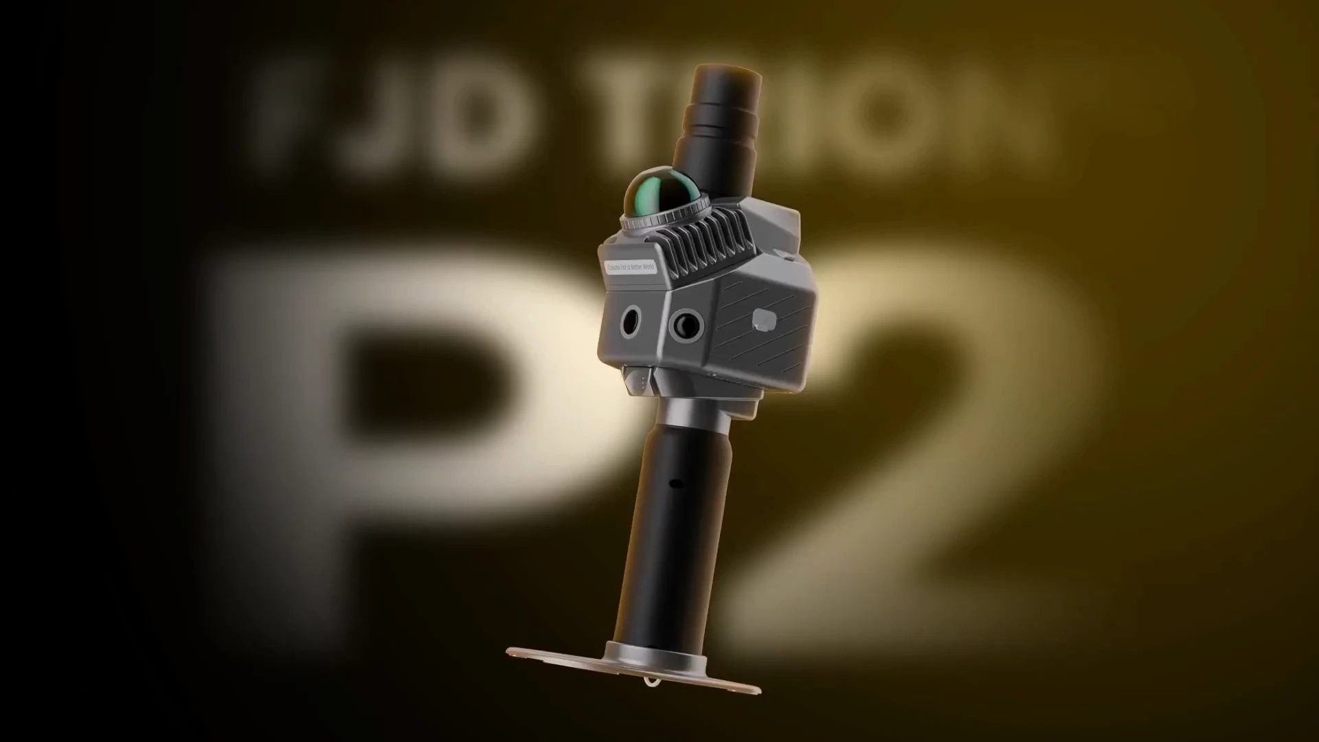
- Interiors, plant rooms, stairwells: a lightweight handheld scanner such as the FJD Trion P2.
- Large facilities, roads, stockpiles, underground: longer range, such as the FJD Trion S2 with up to 120 m.
- Mixed projects that need high local accuracy: hybrid mobile + tripod, such as the FJD Trion T1.
2. What accuracy does the deliverable need?
Manufacturers usually quote two values: relative accuracy (how well points agree with each other) and absolute accuracy (how well they agree with a coordinate system). FJDynamics specifies 1–1.2 cm relative and 3 cm absolute accuracy after processing for the P2, P2 Vision+, S2 and V4e. The T1 in tripod mode is specified at 4 mm @ 10 m. Real results depend on site geometry, walking path and processing – plan loops and enough overlap.
3. Must the point cloud be georeferenced?
If data must go into SWEREF 99 or a local grid you need either a scanner with an RTK module or GNSS, or separately surveyed control points. The P2 and S2 offer RTK as an option, while the X1, T1 and V100F have built-in GNSS.
4. What will the point cloud become?
The deliverable drives both scanner and software. FJDynamics scanners export .las, .e57, .ply and .pts, so point clouds open in most CAD, BIM and GIS tools. In FJD Trion Model you can classify ground, denoise and produce floor plans, contours and volumes. If you mainly need indoor floor plans, the FJD Trion C1 is built for exactly that, with DXF export.
5. Think about total ownership
- Training: How fast will the team get going? Norrpoint includes online operator training with every scanner.
- Local support: Who helps when field data doesn't turn out as expected?
- Accessories: Extra batteries, vehicle or backpack mount and RTK module.
- Software: Licences for post-processing and sharing point clouds.
Next step
Compare models on LiDAR scanners, read what affects the price or request a quote – describe the job and we'll suggest a configuration. Demo requests are welcome.
Talk to Norrpoint
Tell us about the job and we will come back with a recommended configuration, availability, and next steps.