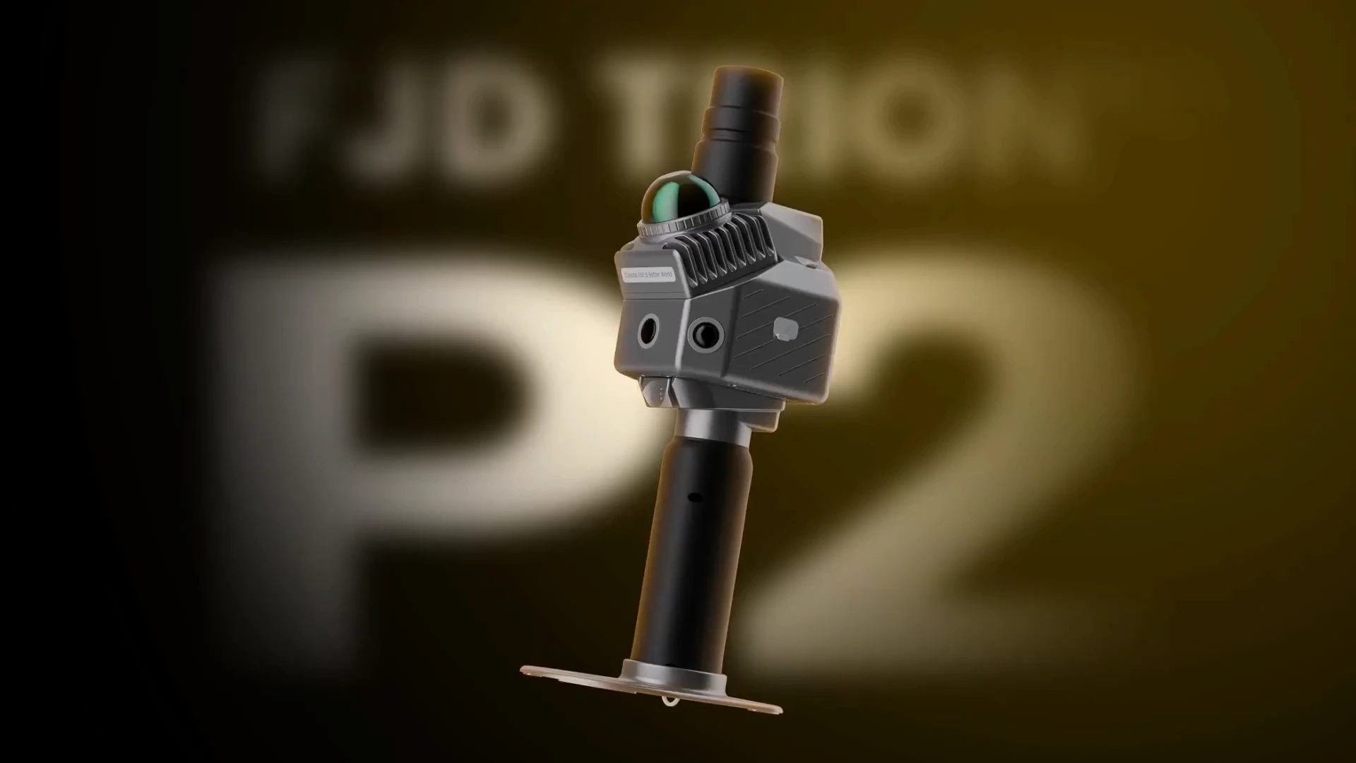
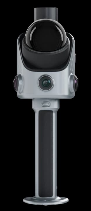
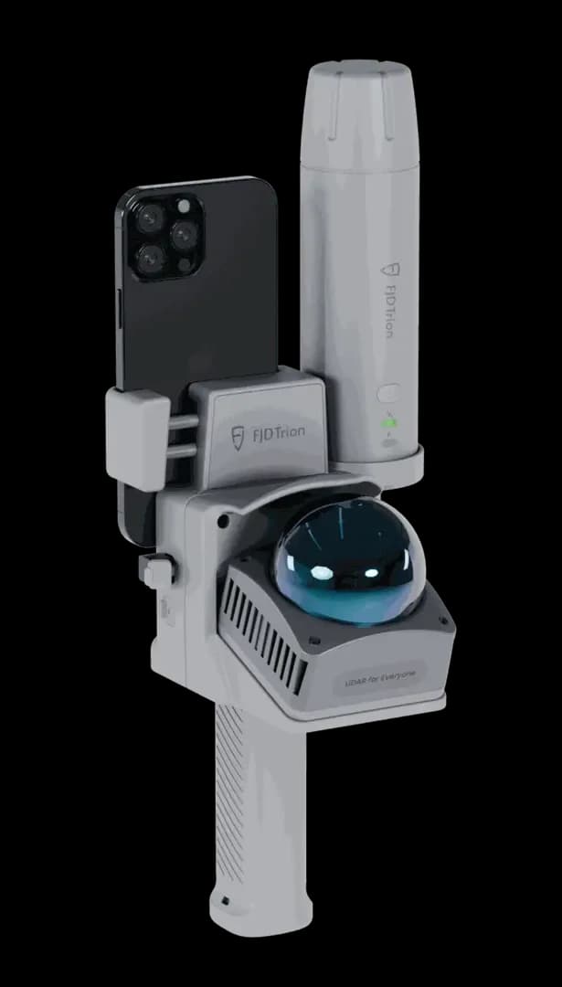
FJD Trion P2
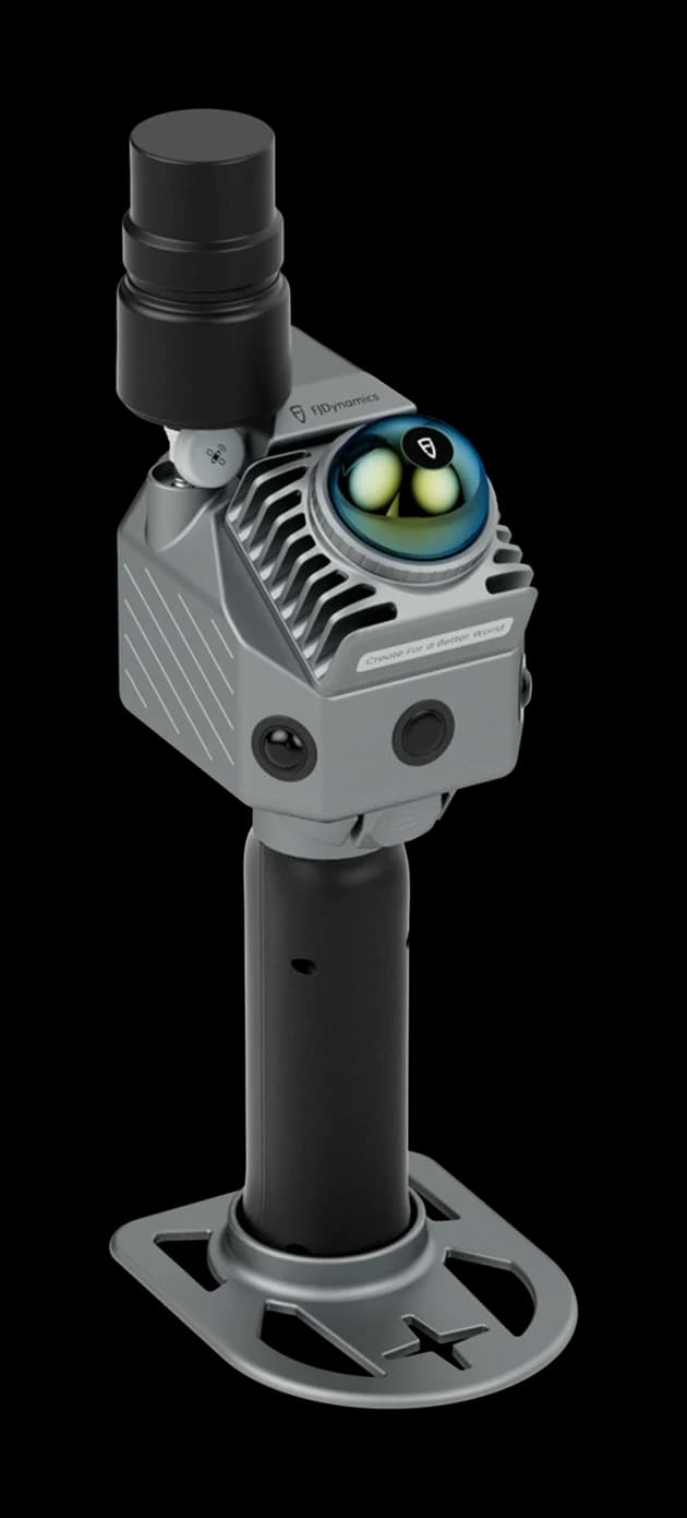
- Weight
- 0.7 kg
- Accuracy
- 1.2 cm
- Range
- 70 m
Proudly supporting engineering teams at

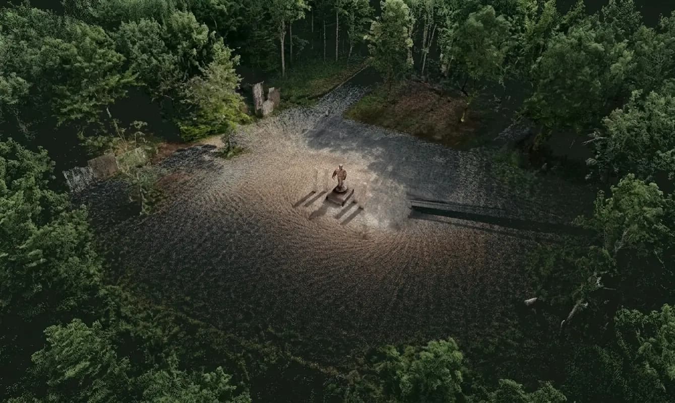
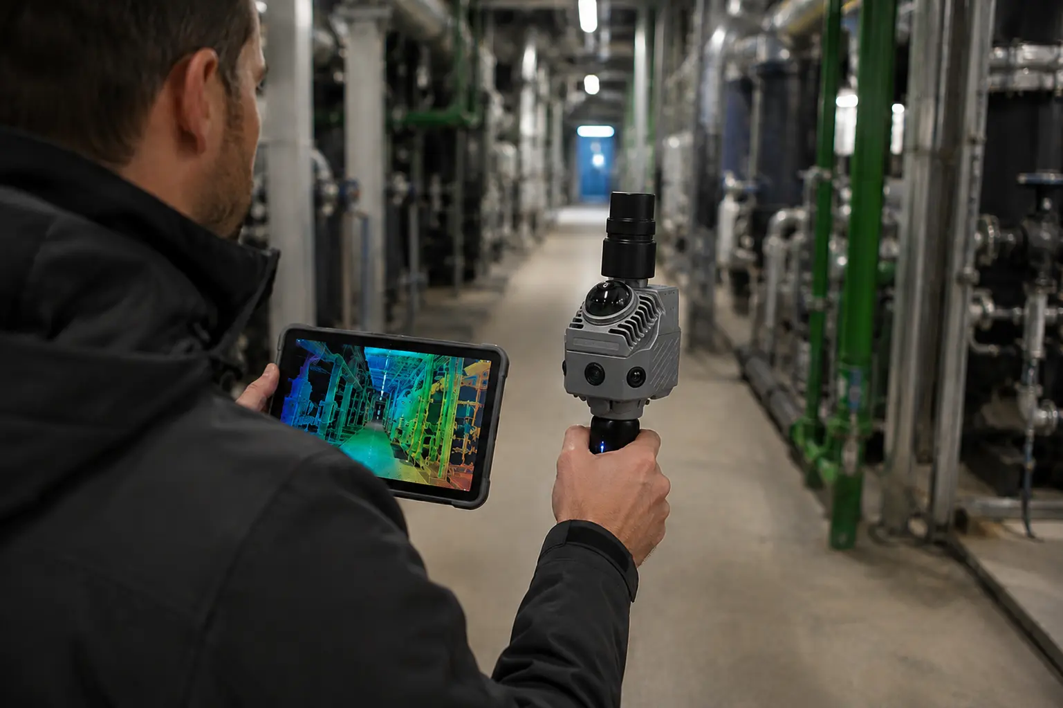
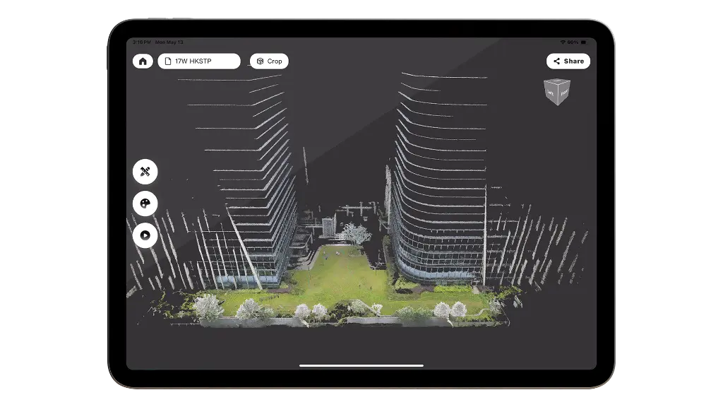
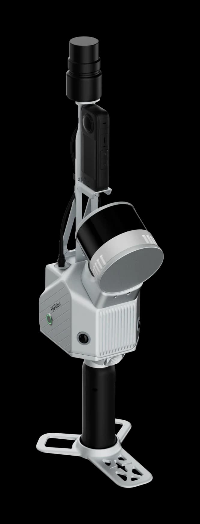
FJDynamics 3D SLAM removes the tripod from most capture work. Walk the site, watch the point cloud build on the field tablet, and keep scanning indoors, outdoors, underground and even including GPS-denied spaces. Georeference with RTK GNSS where sky view allows; close loops with SLAM where it does not.
Industries
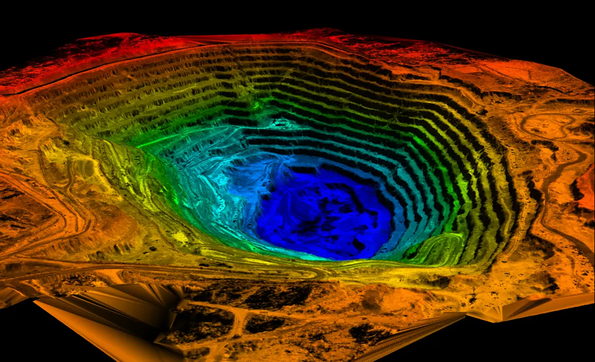
Construction, forest, quarry, and plant rooms ask for different setups. Pick an industry to see which Trion models we specify and how the record is used after the field.
Norrpoint is the only reseller in Sweden selling LiDAR scanners from FJDynamics. We are based in Gothenburg and offer quotes, configuration, online training and Swedish support for the full FJD Trion range. See all LiDAR scanners.
The price depends on model, range, accuracy, sensors (camera, thermal camera, RTK) and software. We don't publish list prices; we prepare a quote tailored to the job, usually within 1–2 business days. Read what affects the price or request a quote.
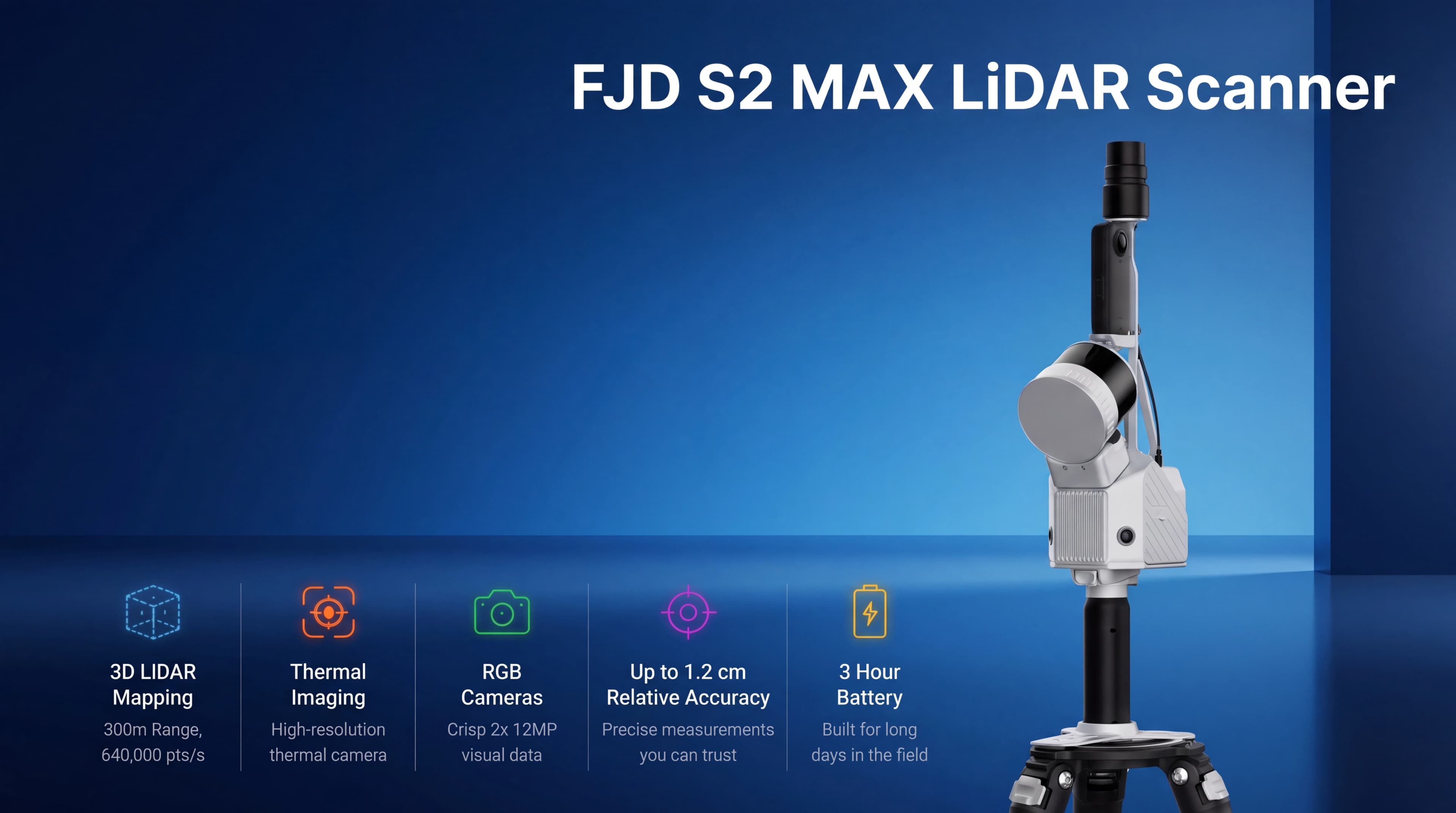
Published post-processed relative accuracy is 1.2 cm on Trion P2 and Trion S2 (P2 also lists 2 cm relative in the real-time cloud). V4e lists 1 cm relative after processing. Absolute accuracy is typically 3 cm post-processed. Figures are measured in controlled conditions; site geometry, trajectory, and processing still govern what you deliver.
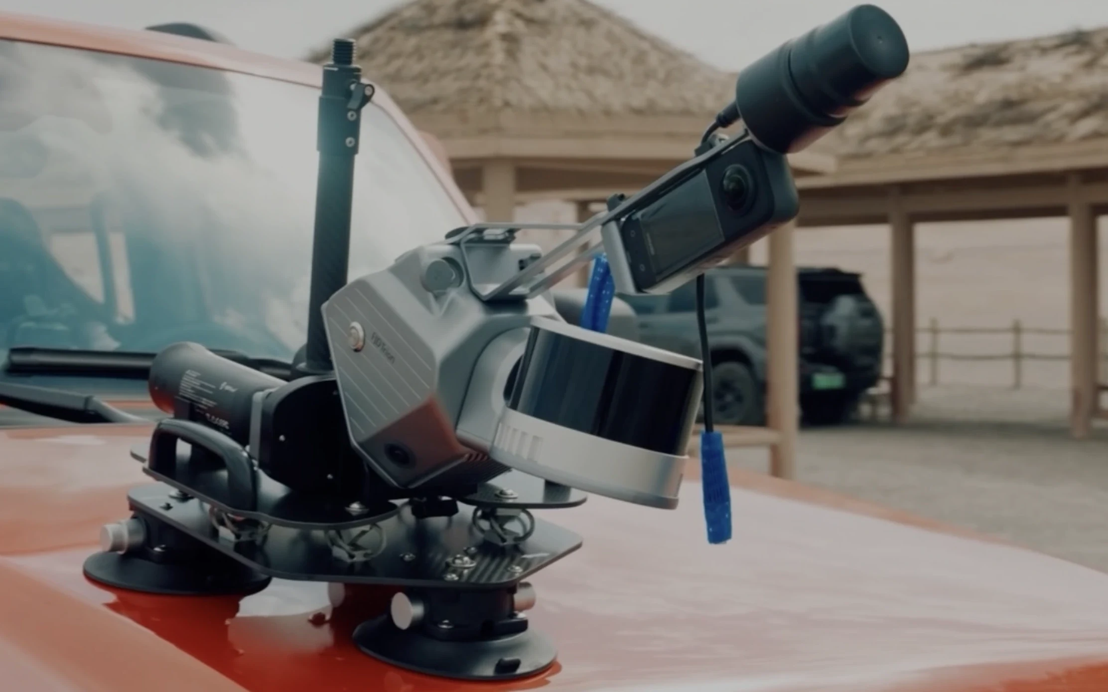
Yes. FJD SLAM builds the trajectory from LiDAR (and visual SLAM on models with cameras) so you can scan GPS-denied interiors, tunnels, and forest plots. Use the optional RTK GNSS module outdoors when you need the cloud georeferenced to a coordinate system; PPK is available on P2.
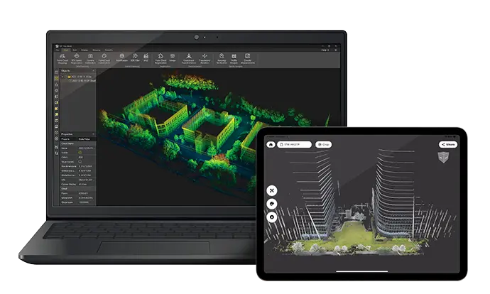
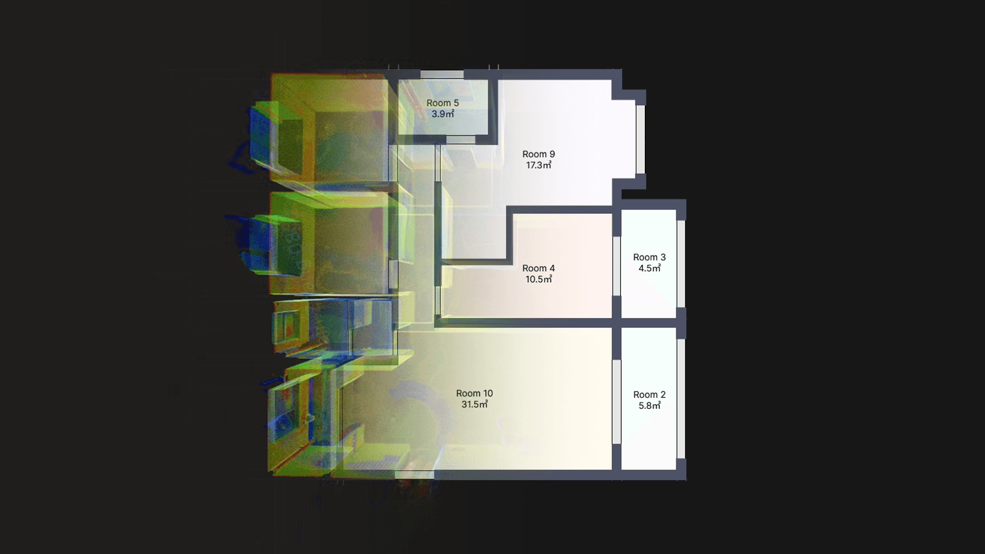
Trion hardware and Trion Model export .las, .e57, .ply, and .pts. Trion Model imports those same formats, then classifies ground, denoises, and writes floor plans, contours, and CAD/BIM deliverables.
Norrpoint is based in Göteborg and supplies FJDynamics scanners in Sweden. Every scanner includes online operator training (instructional videos and digital documentation), plus local support for configuration quotes. Request a quote with your site type and accuracy requirement.
Support
We specify and deliver FJDynamics hardware for Nordic sites. Every scanner includes comprehensive online operator training via detailed instructional videos and digital documentation, ensuring your team is up and running immediately. Quotes include configuration, availability, and delivery suited for your needs.
Post-processing ecosystem
FJD Trion Model licenses can sit on the same Norrpoint quote as a handheld scanner. Choose the desktop workstation for engineering deliverables, or the browser workspace when the whole project team needs the cloud.