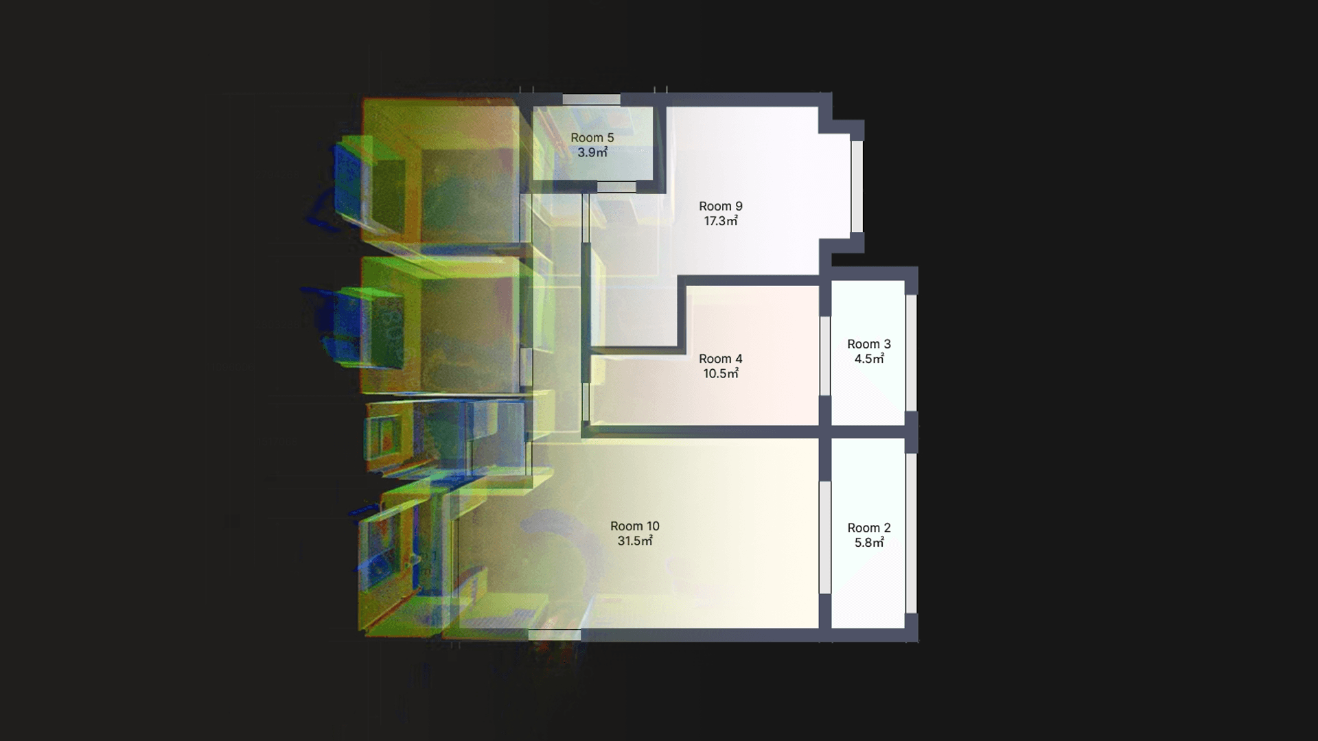
Short answer: To produce an as-built drawing of an existing building, scan it with a mobile LiDAR scanner and draw against the point cloud. You walk through the space at a normal pace, and a floor takes minutes instead of hours with a tape and a laser distance meter. You also capture everything, including measurements you did not know you would need.
When do you need to survey an existing building?
- Renovation and tenant fit-out, when drawings are old or do not match reality.
- Permits and design, when no drawings exist at all.
- MEP coordination, when ducts, cables and pipes must fit existing shafts and ceilings.
- Facility management, when owners need current plans across their portfolio.
How it works, step by step
- 1. Plan: decide which floors and rooms to include, open doors between rooms and plan a walking path with loops.
- 2. Scan: walk through the building and watch the point cloud build in real time in the FJD Trion Scan field app.
- 3. Process: optimise and colour the point cloud in FJD Trion Model PC, or generate floor plans automatically in FJD Trion Model Web.
- 4. Draw: export the point cloud as .e57 or .las and draw the as-built in your CAD or BIM software, or deliver the floor plan directly.
Which scanner fits?
- Floor plans of apartments, offices and premises: the FJD Trion C1 measures ±3 mm within 0.1–6 m, covers about 200 m² in roughly 3 minutes and delivers editable DXF.
- Whole buildings, plant rooms, shafts and facades: the FJD Trion P2 with 70 m range and 1.2 cm relative accuracy.
- Survey plus thermography: the P2 Vision+ adds a thermal camera to the same dataset.
- Millimetre detail: the FJD Trion T1 combines mobile scanning with a tripod mode, 4 mm at 10 m.
Laser scanner or tape measure?
A tape and a laser distance meter work for single rooms. For whole floors the laser scanner wins on three counts: it is faster, it captures ceiling heights, niches and odd angles that are easy to miss, and you can take new measurements in the point cloud without going back. Always check the point cloud against a few measured control dimensions before drawing.
Read more about what a point cloud is and how it is used, see how we work with construction and real estate, or request a quote for your project.
Talk to Norrpoint
Tell us about the job and we will come back with a recommended configuration, availability, and next steps.