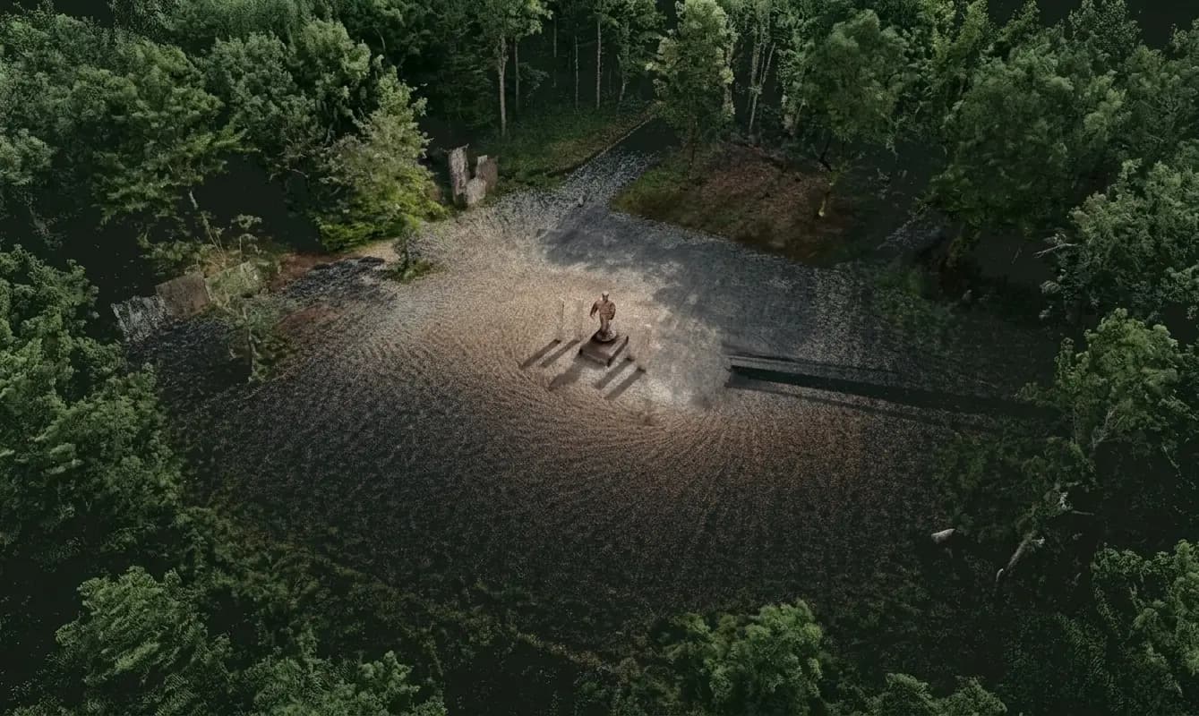
In Swedish forest and in avenues after a storm, a corer, a prism, and a tape are not always enough. Separate points rarely describe the whole setting around a tree. Handheld LiDAR adds a cloud you can return to.
SLAM under canopy, a record in the city
The FJD Trion V4e can walk an old tree in under a minute. The S1 and P2 cover stands and street trees. Trion Model can extract stems, terrain, and GIS layers — the same idea as in the Romania case and Hong Kong urban trees.
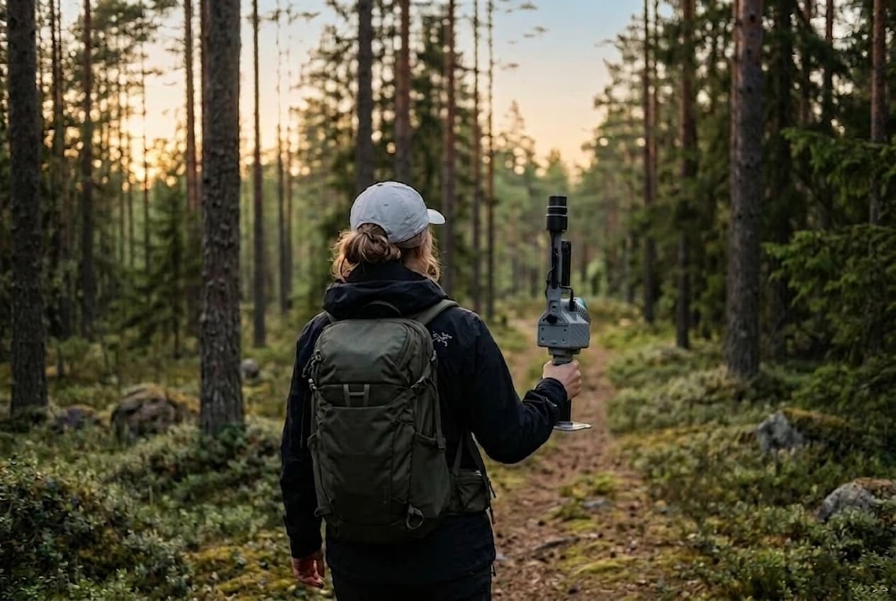
- Diameter, height, and crown without measuring every stem by hand
- Terrain and extraction routes where GNSS drops
- A 3D archive of street trees after a storm
Forestry in the Nordics is one of the jobs we specify most often. Contact Norrpoint and we will match V4e, S1, or P2 to your stand.
Talk to Norrpoint
Tell us about the job and we will come back with a recommended configuration, availability, and next steps.