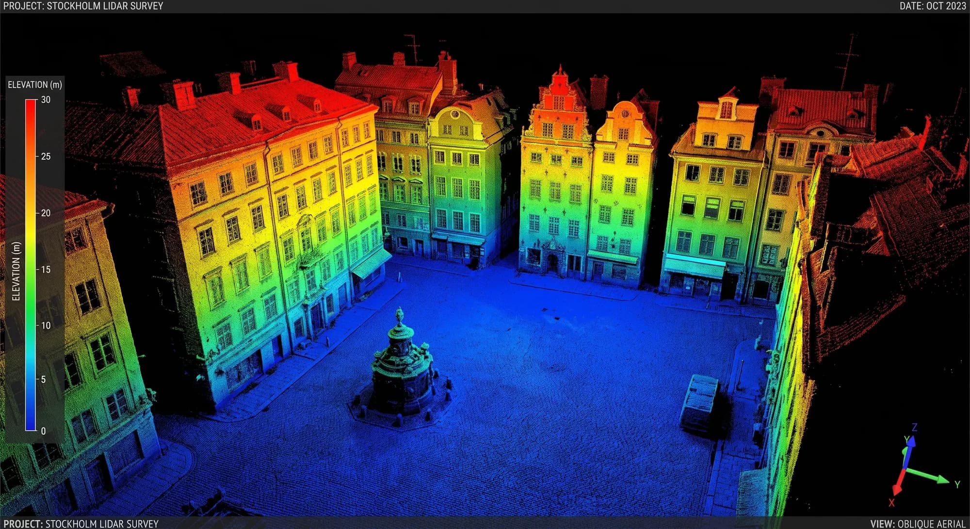
Short answer: A point cloud is a set of millions of 3D measurement points, each with an X, Y and Z coordinate and often a colour. Together the points describe a building, a room or terrain exactly as it is. The point cloud is created by laser scanning: a LiDAR scanner emits laser pulses and measures the distance to everything they hit. A handheld scanner such as the FJD Trion P2 captures 200,000 points per second while you walk.
How is a point cloud created?
There are two main methods. With a stationary laser scanner on a tripod you scan from several setups and register them together. With a mobile LiDAR scanner you walk through the space while the scanner continuously calculates its own position using SLAM. The mobile method is much faster and reaches tight spaces; the tripod gives the highest detail at short range. Read more.
What are point clouds used for?
- Floor plans and as-built drawings of existing buildings. Read more.
- Scan-to-BIM: the point cloud becomes the basis for a BIM model in tools such as Revit. Read more.
- Volume calculation of stockpiles and quarries.
- Inspection and documentation of tunnels, mines, substations and plants.
- Forestry and trees: height, stem diameter and crown without measuring each tree by hand. Read more.
How accurate is a point cloud?
It depends on the scanner and on how you scan. Relative accuracy is the distance between points in the cloud, meaning the measurements you take in it. Absolute accuracy is where the cloud sits in a coordinate system and requires RTK or control points. Some examples from the FJD range:
- FJD Trion P2: 1.2 cm relative and 3 cm absolute accuracy, 70 m range.
- FJD S2 series: 1.2 cm relative accuracy, 120 m range (S2 and S2 PRO) or 300 m (S2 MAX).
- FJD Trion T1: 4 mm at 10 m when used on a tripod.
- FJD Trion C1: ±3 mm for indoor floor plans.
Which file formats are used for point clouds?
- .las / .laz: the standard point cloud format in surveying and GIS. .laz is the compressed version.
- .e57: a vendor-neutral format that most CAD and BIM software can read.
- Revit and AutoCAD: import .e57 or .las through Autodesk ReCap.
From point cloud to deliverable
After scanning, the point cloud is processed in FJD Trion Model PC: the trajectory is optimised, the cloud is coloured and noise is removed. You then deliver the point cloud itself, or produce floor plans, sections, volumes or a BIM model from it. In FJD Trion Model Web floor plans can be generated automatically in the browser.
Not sure which scanner fits your work? Try the buying guide or request a quote.
Talk to Norrpoint
Tell us about the job and we will come back with a recommended configuration, availability, and next steps.