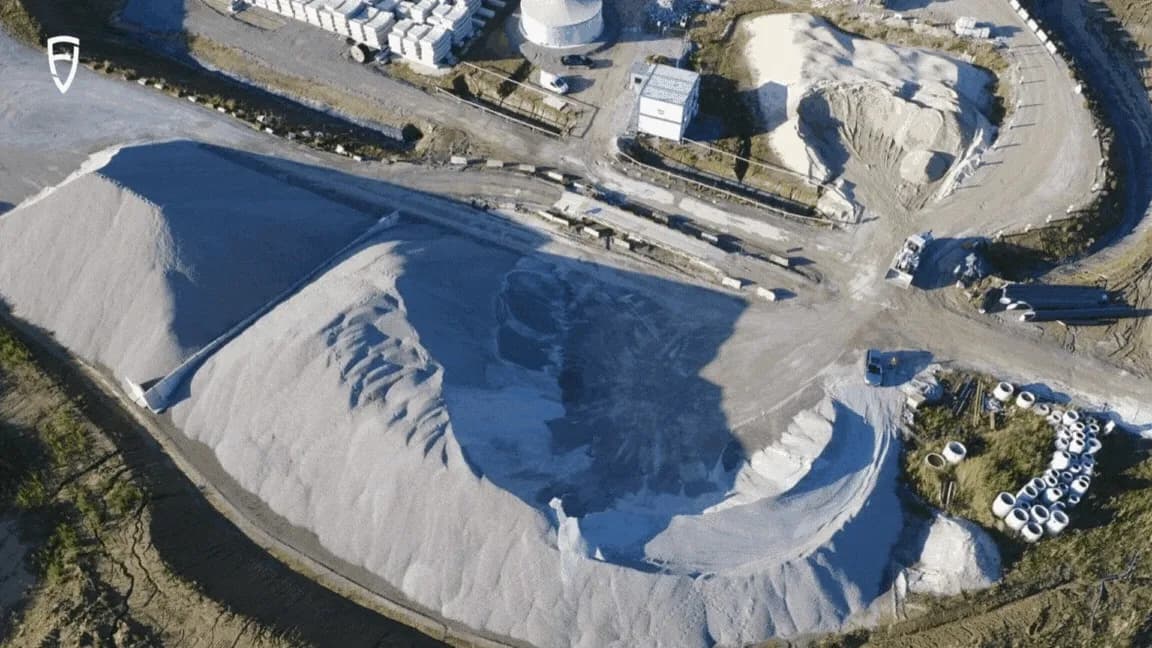
The volume of coal, gravel, ore, or grain drives purchasing, schedules, and cash. Classic methods — truck capacity, total station, or RTK rover — are slow, uncertain, and put people close to unstable piles.
The FJD Trion S1 captures the pile from a distance. The operator plans a loop with at least 5 m overlap at start and end, walks steadily, and keeps the scanner toward the pile. Outdoors, RTK can put the cloud in a coordinate system.
Two field results
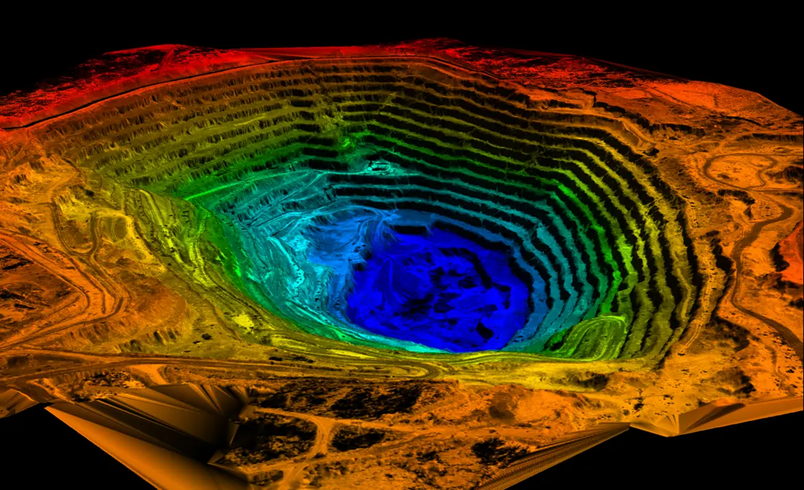
- Southeast Asia, power plant: 18,000 m² coal pile — scan and processing in 19 minutes
- Poland, concrete plant: more than 15,000 m³ of aggregate in 30 minutes with S1 + RTK, in a no-fly zone for drones
In FJD Trion Model surroundings are clipped, noise is cleaned, and holes are filled. Then come volume, footprint, height, surface, cut/fill against a plane, and contours. Compared with monthly photogrammetry, the result can sit in a national coordinate system and be compared with the last survey.
Summarised from a customer story published by FJD Trion. Contact Norrpoint for the S1 on stockpiles and quarries.
Talk to Norrpoint
Tell us about the job and we will come back with a recommended configuration, availability, and next steps.